Moteshwar
Mahadev
|
|
Location
in Uttarakhand
|
Coordinates:
|
29°07′12″N
78°34′12″E
|
Name
|
Proper
name:
|
Shree
Moteshwar (Bheemashankar) Mahadev
|
Location
|
Country:
|
India
|
State:
|
Uttarakhand
|
District:
|
Udham
Singh Nagar
|
Locale:
|
Kashipur
|
Architecture
and culture
|
Primary
deity:
|
Bhimashankar
(Shiva)
|
Important
festivals:
|
Maha
Shivaratri
|
Kashipur (Govishn) is a historic
place in Nainital Distt (Now U.S. Nagar) and around 1 km from this place
is a place known as ujjanak. This is the place where Lord Shiva is situated in
his full face as a Jyotirlingam known as Bheem Shankar. This is the Bheem
Shankar Jyotirlingam.
Shree Moteshwar Mahadev also
known as Shree Bheem Shankar Mahadev is an abobe of Lord Shiva in Kashipur,
this place was known as the Dakini State in ancient days
Pooja
details
Timings: 6:00 AM to 12:00 Noon &
4:00 PM to 8:00 PM
Deity
Primary Deity : Shiva
Other Deity : Parvati, Kartikeya,
Ganesha Hanuman, Kali, Bhairo
Fairs
Maha Shivratri Fair
Chaiti Mela
Shrawan Mela
How
to Reach
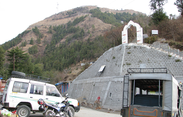
Shree Moteshwar (Bheema Shankar)
Mahadev is located in Ujjanak area of Kashipur which is around 3 km from
the Kashipur Bus Station, Kashipur is well conncted via the Road with all major
cities of North India, and is also linked to Delhi, Lucknow, Moradabad, Ramnagar
& Varanasi via Train.
Nearest airport is at Pantnagar
which is about 72 km from Kashipur.
Kashipur
Kashipur was known as Govishan
or Govisana, during the time of Harsha (606–647 AD), when Xuanzang
(631–641 AD) visited this region. The ruins of the large settlement of those
days are still to be seen near the city.
Kashipur is named after Kashinath
Adhikari, the founder of the township and Governor of the pargana,
one of the officers of the Chand Kings of Kumaon in the 16-17 century.
Poet Gumani has written a poem on
this town. Girital and Drona sagar are well known spots and are associated with
the story of the Pandavas. The Chaiti mela is the best known fair of Kashipur.
Today Kashipur is an important industrial township. In autumn (after monsoon)
one can see the snowclad peaks of Trishul and its surroundings.
History
According to the Shiv Puran Bhima
Shankar Jyotirlingam is situated in Kamroop but after seeing various historic
and spiritual books this place is called as the place of Bheem Shankar
Jyotirlingam reason for this is after looking to many of the spiritual books we
come to know that this place was known as Kamroop. In past in Mahabharata time
this place was also known as Dakini. and this was the reason why Adi
Shankaracharaya has illustrated this place by saying "Dakiniyam
Bhimashankaram".Its existence is also described by Kalidas in his "Raghuvansh".
Hence we have to believe that this is the Kamroop Desh.
Why was this place known as
Dakini ?
The reason for this is the forests
which has gone from Saharanpur to Nepal consisted a Hidimba named devil which
took birth in Dakini Yoni and got married with the Victorious PandavaBhushan
BheemSen.In Fact she was a Dakini but as she lived in a devil posture she was
called a Devil.
The Lingam of this temple is very
large and touching the whole Ling with two human hands is impossible. This kind
of Lingam is not present in any other part of the country. It is also believed
that this Ling rises and till now it has reached Second Floor after seeing many
facts we can say this temple was built around 302 AD. This temple also include
a BharavNath temple and a Kund known as ShivGanga Kund and in front of this
kund is river Kosi. West to this temple is a temple of Maa Jagdamba Bhagwati
Balsundari and every year in month of chaitra a huge fair is organized here. A
place known as kila which describes the historic nes of this temple. This is
the kila where Guru Dronacharya gave teaching to Kaurava and Pandava Guru
dronacharya motivated Bheemsen to reconstruct this temple which later was known
as Bheem Shankar. Shravan Kumar also rested here West to this kila is
Dronasagar which was also built by pandavas for their guru Dronacharya. The
lingam of this temple is too fat so people here named it as "Moteshwar
Mahadev".
Shree Moteshwar (Bheema Shankar)
Mahadev is regarded as one of the 12 Jyotirlinga of Lord Shiva, information
about this temple is also referred in Mahabharat
Shiv Manokamna Kund is just adjacent
to the Temple. There is a Bhimashankar Temple near Pune
in Maharastra, which was also referred to as Daakini country and considered as
one of the Jyotirlinga. Bhimshankar temple near Guwahati, Assam is the
jyotirlinga according to Sivapuran. According to "LINGA PURAN",
Bhimasankar temple in Bhimpur near Gunupur of Rayagada Dist in South Orissa is
also debated as one of the Jyotirling, which is situated at the western part of
the holy Mahendragiri mountains and at the river.